
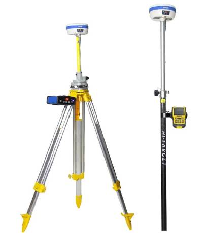
DGPS/GNSS EQUIPMENT DGPS equipment enhances GPS accuracy by correcting signal errors. It includes a reference station that sends correction data to mobile receivers, enabling highly precise location measurements for surveying and mapping.
Read More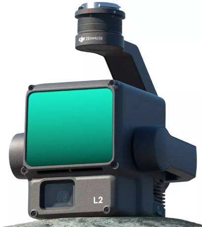
LIDAR ZENMUS L2 The Zenmuse L2 combines a frame LiDAR, high-accuracy IMU, and 4/3 CMOS RGB camera to deliver precise and efficient geospatial data. Paired with DJI Terra, it offers a complete solution for 3D data collection and high-accuracy post-processing.
Read More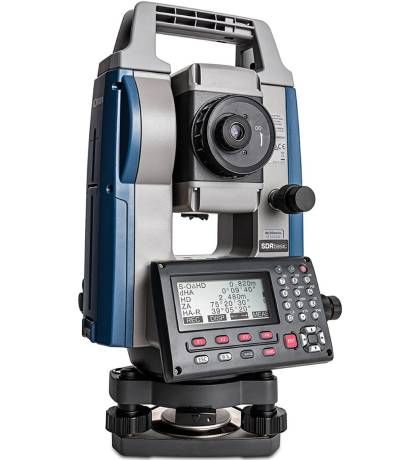
Total Station EQUIPMENT A Total Station consists of a telescope, a computer, and a reflector. The telescope is used to aim at a target, and the EDM measures the distance to the target by sending out a laser beam and measuring the time it takes for the beam to be reflected back. This time is used […] Read More
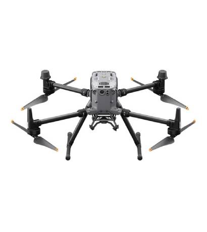
DJI MATRICE 350 RTK (DJI CARE 1 AUTO-ACTIVATED) S/N: 1581F6GKB23AR00400XV A HIGHLY ADVANCED DRONE SYSTEM USED FOR ACCURATE AERIAL MAPPING, TOPOGRAPHIC SURVEYS, AND REAL-TIME DATA COLLECTION
Read More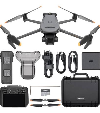
MAVIC 3 ENTERPRISE EU A RELIABLE DRONE SYSTEM DESIGNED FOR ENTERPRISE-LEVEL SURVEYING AND MAPPING, PROVIDING HIGH-RESOLUTION IMAGERY FOR DETAILED PROJECT ANALYSIS
Read More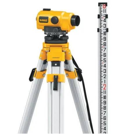
LEVEL MACHINE ESSENTIAL FOR DETERMINING ELEVATION DIFFERENCES IN LAND SURVEYS AND CONSTRUCTION PROJECTS TO ENSURE ACCURATE LEVELING AND GRADING.
Read More